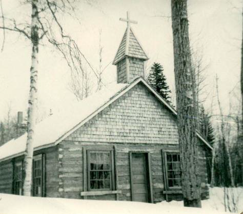
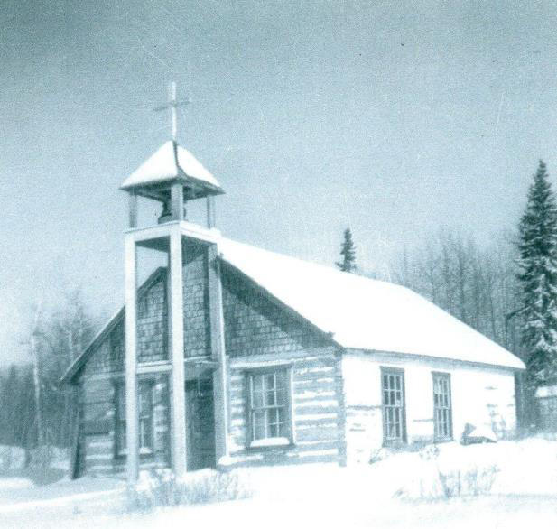
CALLING LAKE
By June Davidson
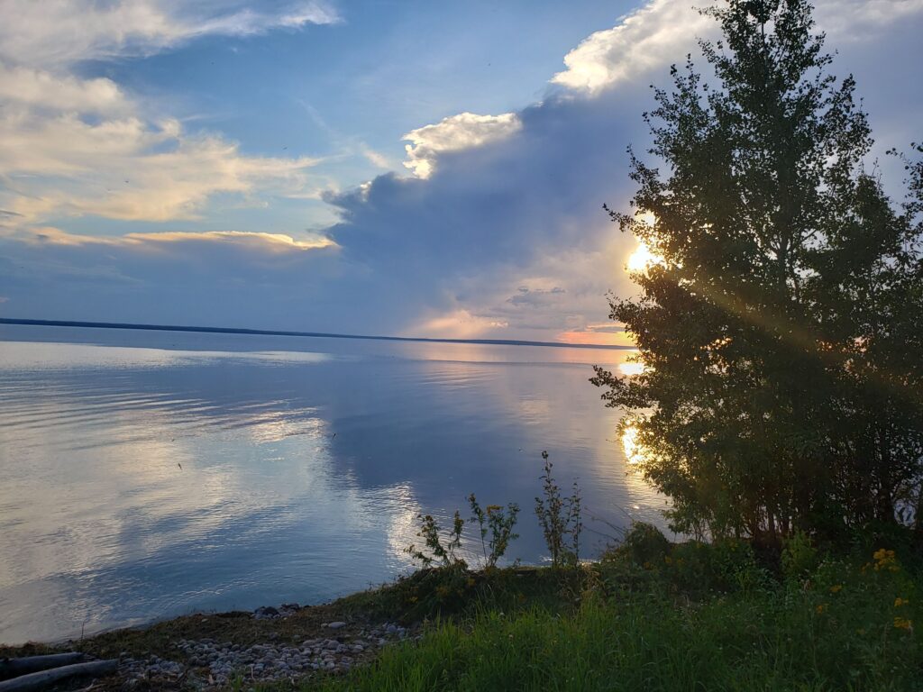
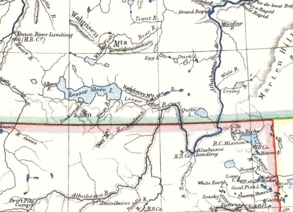
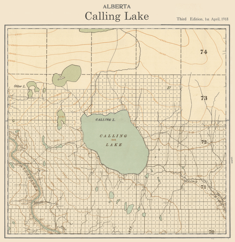
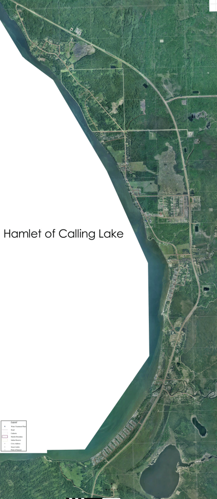
Of all the interesting people, places and things I encountered on my trip this summer, I think the most fascinating to me is the legend about Calling Lake and how it got its name. It is a beautiful spot about forty-five miles straight north of Athabasca, where they have no highway nor railway yet. There has been a settlement there, however, for years and years. It is a commercial fishing lake and good trapping country. A large part of its population descends from the Cree tribes of long ago.
My story is about the queer natural phenomenon that gives the lake its name and the Indian legend explaining it:
A long time ago when Payok Cryil’s grandfather’s grandfather was a very small boy, each Indian tribe had its guardian spirit. And if it was a very good tribe, the spirit would sometimes appear to one of its members to give advice or warning of danger.
The tribe that settled on this lake, and Payok’s grandfather’s grandfather among them (Old Payok tells the story and vouches for its truth because his grandfather told him and he had it from his grandfather), as I say, this tribe was particularly favored by all the spirits. Its men were brave and strong and wise; its women beautiful and clever with their hands. Their guardian spirit was very proud of his band and boasted to the other gods that no evil could enter into their hearts.
One wicked spirit who heard the boast became frightfully jealous. His tribe was nothing to boast about and e never received praises form the higher gods. He decided to bring some evil to the favored tribe or coax them into wicked ways.
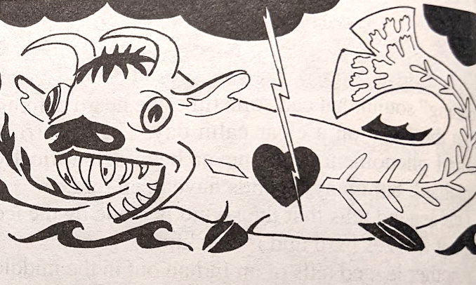
“Pesiskiniseeo” was the name of this spiteful spirit, and it meant “horrid fish-animal.” He could change himself into a dreadful monster, half fish and half beast, when he chose. The tribe’s guardian spirit was called “Assemin Kipahpin” or “giver of laughter.” He went to warn his people of the danger that Pesiskiniseeo would be to them. He appeared in a dream to the chief himself and said, “Beware the fish-beast! I can say no more. Th rest lies with your people.”
The chief called a council of all the tribe the next morning. When he told them of his dream the medicine men took council and explained its true meaning. All the warriors and their squaws made a vow to be ever on guard and not listen to the voice of evil.
Their vow was not an easy one to keep. At first Pesiskiniseeo appeared to them as a gay young chief and tried to coax them from their ways of goodness and fair play. They ignored him. Then he whispered secrets into their dreams. But they refused to be swayed by him.
At last he became vicious and appeared as the hideous monster he was, with a breath of fire and huge scabby tail that could throw a dozen warriors over at once. He threatened to destroy the tribe by degrees unless the people followed his laws for their future. It was a very trying time for the people and they were beginning to wonder if it would not be wiser to break their vow.
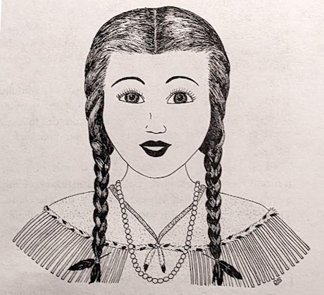
Now the chief had a lovely daughter, “Pasquou” or “The Beautiful,” who felt deep sadness over the plight of her father’s people. All night she could not sleep for thinking of the monster’s visit on the morrow. She stood at the door of her father’s teepee – a slim, willowy girl, with two long braids of jet black hair. Her eyes were like dusky pools in the moonlight and her teeth were little pearls behind lips of dark red velvet. She saw the stars twinkling up at her form the breast of the lake and the moon made a path of glory across its rippled surface. It seemed to be showing her the way.
“Yes,” she thought. “I will do it. It is the only way to save my father’s people.”
Early in the morning, Pasquou arose and dressed herself in her most beautiful robes of baby doeskin with ermine trim. She brushed her long black braids until they rippled like polished jet and clasped them back with the feather from a cardinal’s wing. Just as the autumn sun tipped the timberline to the east and threw its long rays to the shoreline of the lake, she stepped forth from the teepee and started slowly down the path to the water’s edge. Dewdrops glistened on the bushes beside her and the world seemed fresh and beautiful.
Just then, with a mighty rumble and roar, the monster flopped out of the forest and up to the village. All the Indians crowded into their wigwams and wondered what to do. The beautiful maid alone seemed unconcerned. She walked on to the shore and launched her canoe as if there was nothing at all out of place.
The evil spirit gazed at her in admiration and began to follow her with his flopping motions. She paddled straight out to the centre of the lake with the monster floundering behind her. Just before he overtook the canoe, a mysterious mountain of black smoke seemed to appear suddenly above them. Lightning flashed and thunder ripped through the quiet of the morning air. The monster hesitated and was turning back to shore. His beast head with its fiery breath must have air. A bad storm might overcome him and trap him.
Then the storm broke in a fury that the Indians had never seen before. The frail little canoe was dashed to bits almost instantly and the fiery monster sank between two huge waves and was never seen again.
And ever since that fateful day, especially in the autumn when the sun has risen red on a dew sparkling world, a listener may hear the deep rumble of the evil spirit’s voice rising from the centre of the lake. He is calling the tribe from his lair in the lake bottom, and no Indian will cross that lake to this day. If they must get to the other shore, they go around on foot or paddle their canoe all around the edge.
The white settlers there explain that distant booming sound on a clear day by various scientific possibilities. Some say it is gas in the bottom of the lake. Some say it is an electrical condition of the atmosphere above the lake. I have no theory to explain the queer calling sound, and I don’t believe I would offer it if I had. I like the legend of the beautiful Indian maiden sacrificing herself for her tribe, and I like the supernatural spirit the Indians give it. To me, the bad spirit of “Pesiskiniseeo” is calling for lost Indian souls